Twelvemile Trail Construction Project
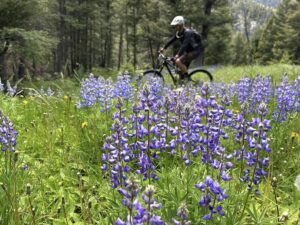
You may know Twelvemile for its great mountain bike trails, and the classic Twelvemile-to-Lime shuttle ride. If you enjoy mountain biking, hiking, trail running, or just walking your dog in the beautiful forests of Twelvemile, but don’t really like the long bumpy road to access the upper trail system, then KEEP READING!!
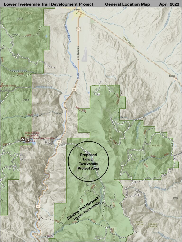
In 2022, SIMBA put together a proposal for the development of a network of 11.3 miles of new trails in the lower portion of the Twelvemile Creek drainage that would provide some short loop options as well as connections to the existing trail network in the upper portion of the Twelvemile drainage. These proposed multi-use, non-motorized trails would provide unique recreational opportunities within a short distance of Salmon.
This web page is your source for more information, maps, photos, and a chance to provide input. We will keep it updated as the project progresses. (Last updated 1/10/2024)
PROJECT STATUS
PUBLIC SCOPING – SUBMIT COMMENTS (12/14/2023):
The Salmon-Challis National Forest will begin environmental analysis of the proposed Twelvemile Trail Construction Project in 2024 and is currently seeking public comments on the proposal. More information, including the latest version of the proposal, map, and instructions on how to provide comments, can be found on the Forest Service project web page (click the link below). Comments will be accepted from December 14, 2023 to February 12, 2024.
USFS TWELVEMILE PROJECT WEB PAGE
Concept
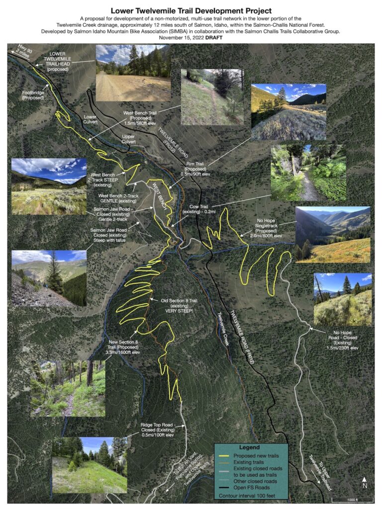
The Twelvemile Trail Construction Project is a proposal for the development of a non-motorized, multi-use trail network in the lower portion of the Twelvemile Creek drainage, approximately 12 miles South of Salmon, Idaho, within the Salmon-Challis National Forest. This proposal was developed by Salmon Idaho Mountain Bike Association in collaboration with the Salmon Challis Trails Collaborative Group, which includes many partner agencies and organizations. A total of 7.3 miles of non-motorized, multi-use, semi-primitive trails would be constructed to Forest Service standards using a combination of mechanized and hand work. An additional 4 miles of existing closed Forest Service roads, most of which are currently used as non-motorized trails, would be utilized as non-motorized trails with only minor additional modifications needed, in order to create loop routes and a connection to the existing Forest Service trail network in the upper part of the Twelvemile Creek drainage. The result would be a trail network in a forested landscape that is easily accessible from the community of Salmon and appeals to a variety of non-motorized users.
Project Location
The proposed project is located entirely within the Salmon-Cobalt Ranger District of the Salmon-Challis National Forest, in Lemhi County, Idaho. The project location is located approximately 12 miles South of Salmon, Idaho, in the lower portion of the Twelvemile Creek drainage.
BACKGROUND
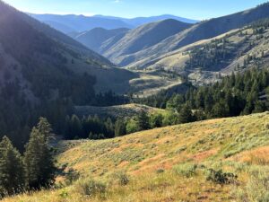
The Twelvemile Creek drainage is a relatively steep, forested drainage ranging in elevation from 4200 to 9564 feet on the west side of the Lemhi Mountains. While developed private land exists along the lower mile of the drainage, the large majority of the drainage is mostly undeveloped National Forest System lands. The Twelvemile Road (FR014) provides a 9-mile long dead-end access route to the upper portion of the drainage, and numerous closed Forest Roads, most of which were constructed during logging operations in the 1970s, are present throughout the watershed.
A trail system exists in the upper portion of the drainage, accessed via the end of FR014. Existing Forest Service trails include #059 (Porcupine Spring), #101 (Twelvemile Meadow), #102 (Upper Twelvemile), and #097 (North Basin). With the exception of Trail #097, which is non-motorized, these trails are all open to motorcycle use seasonally, but closed to all four-wheeled vehicles. These trails, as well as a number of user trails that exist on closed Forest roads, are used by hikers, mountain bikers, horsemen, motorcycles (where allowed), outfitters, and grazing permittees. These trails also connect to Forest Service trails in the Warm Springs drainage to the south (the Lime Creek Trail #100). Check out TRAILFORKS for more information about these trails.
The existing Twelvemile trail system provides a popular area for recreation that is within 20 miles of the community of Salmon. However, use of this area is limited by the narrow, rocky, and rough 9-mile long access route via FR014. No other recreational developments exist in the Twelvemile drainage.
The purpose of this project is to develop a trail network in the lower portion of the Twelvemile Creek drainage that can be easily accessed from the community of Salmon and surrounding areas. The Salmon Valley Trails Action Plan (updated 2017) focuses on developing trail connections to communities, public lands access points, and river access points within close proximity to Salmon. Trail development in the Twelvemile area meets the intent of some of the objectives in the action plan, and as such, the proposal is a part of fulfilling this overall vision for the Salmon Valley. This proposal would provide opportunities for a variety of non-motorized activities, and also enhance the existing trail system by providing connections between the proposed trail network in the lower part of the drainage and the existing trail network in the upper part of the drainage. The proposed trail network provides a unique opportunity for low elevation, trail-based recreation in a mostly forested ecosystem along a pristine creek, accessed from Highway 93 via a 2-mile long Forest Road. This type of opportunity does not currently exist on National Forest lands within close proximity of Salmon.
PURPOSE AND NEED
The purpose and need is to construct a network of new multi-use, non-motorized trails in the lower portion of the Twelvemile Creek drainage. The existing Forest Service trail network in the upper Twelvemile Creek drainage is accessed by 9 miles of rough, steep road (Forest Road 60014), which can be a deterrent to many recreationists wishing to access these trails. A trail network in the lower portion of the drainage would enhance recreational opportunities in the area by creating a variety of trail options for mountain bikers, hikers, trail runners, horseback riders, families, and other users, while also providing trail connectivity to access the existing trail network in the upper drainage without the long drive to the end of the road. The lower trail network would provide a unique recreational opportunity for visitors and residents to experience a forested ecosystem that is easily accessible from Highway 93 and close to the town of Salmon.
The ProposED ACTION
NOTE: To download a pdf version of the proposed action and map, click HERE to go to the Salmon-Challis National Forest Twelvemile Trail Construction Project Website.
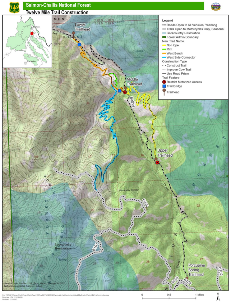
The proposed action is to construct a trail network consisting of approximately 11.3 miles of new trails in the lower portion of the Twelvemile Creek drainage to create a variety of non-motorized trail opportunities and to provide trail connectivity to the existing trail network in the upper portion of the Twelvemile Creek drainage. The trail network will be accessible from 4 trailhead/access points along the Twelve Mile Road (Forest Road 60014), each of which currently has space available for parking. No trailhead improvements are proposed other than sign installation at this time. In the event that use levels increase and there are resource concerns that result, the installation of a CXT type vault toilet would be considered. These facilities would most likely be installed at the lower and upper trailheads. The project is in the Twelvemile Creek watershed on the Salmon-Cobalt Ranger District of the Salmon-Challis National Forest, Idaho (T19N, R22E, Sections 4, 5, 8, 9, 16, 17, 20, 27). The entire area of disturbance will be approximately 0.5 acres.
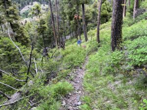
Trail design will be optimized for multiple uses, including mountain biking, hiking, and horseback. Trail difficulty will range from easy to difficult, providing opportunities for short outings to all-day excursions. The trail network will be constructed according to the Forest Service Trails Construction and Maintenance Handbook. This project will require two trail bridges to allow users to cross Twelvemile Creek and to reduce any impacts to the creek itself. These bridges will be built to the specifications for trail bridges found in the Forest Service Standard Trail Plans and Specifications.
West Bench Trail
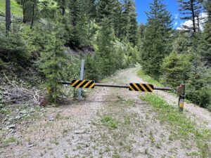
The West Bench Trail will originate from a large existing parking area along Forest Road 60014 (Twelve Mile Road), approximately 1.3 miles upstream of the Forest Boundary. Appropriate signage will be installed at this location to create a primary trailhead for the trail system, with no additional improvements. From this “Lower Trailhead,” the 2.4-mile long proposed West Bench Trail will cross Twelvemile Creek on a trail bridge, make an ascending traverse to an area referred to as the “West Bench,” then cross Twelvemile Creek on another trail bridge and climb to an access point along Forest Road 60014 at its intersection with closed Forest Road 65062 (Salmon Jaw Road). This location will serve as a “Middle Trailhead” with space available for parking but, no improvements will be made other than installation of trail signs. The West Bench Trail will consist of a combination of new trail construction, improvement of existing cow trails, and use of existing old road prisms that are closed to motorized use. A motorized use closure will be installed at the end of closed Forest Road 65062 to prevent unauthorized motorized use onto the trail network.
Rim Trail
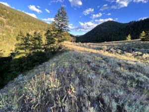
The 0.5-mile Rim Trail will be constructed along the edge of the “West Bench” to create a 0.8-mile loop opportunity with a portion of the West Bench Trail in gentle, open terrain. This trail will consist of new trail construction, utilizing existing cow paths where practical.
West Side Connector Trail
The 5.1-mile West Side Connector Trail will connect the West Bench Trail to the existing Porcupine Spring Trail (Trail #6059) in the upper Twelvemile trail network. The lower 3.3 miles of this trail will consist of new trail construction as a reroute of the old, very steep Forest Service “Section 8” Trail. The upper 1.8 miles of this trail will utilize the existing road prism of closed Forest Road 60235 (Ridge Top Road), with minor modifications to allow for proper drainage. Although this trail will allow trail users to access the existing Forest Service trail network in the Upper Twelvemile Creek drainage without the long drive to the end of the Twelvemile Road, the upper end of this trail will also be accessible by traveling 4.5 miles along the Porcupine Spring Trail from the gate at the end of the Twelve Mile Road. No improvements will be made to the existing “Porcupine Spring Trailhead” at the end of the Twelve Mile Road, other than installation of appropriate trailhead signage.
No Hope Trail
The 3.3-mile No Hope Trail will consist of 1.9 miles of new trail construction from the “Middle Trailhead” along the Twelve Mile Road at the south end of the West Bench Trail to the northern terminus of closed Forest Road 60220 (No Hope Road), and then will continue south, utilizing 1.4 miles of the existing road prism of closed Forest Road 60220 to its southern terminus at the Twelve Mile Road. The southern end of this trail at the Twelve Mile Road will serve as an “Upper Trailhead” with space available for parking. However, no improvements will be made other than installation of trail signs. A motorized use closure will be installed at the end of closed Forest Road 60220 at this location to prevent unauthorized motorized use onto the trail network. This trail will expand loop opportunities in the area and provide excellent views of the entire drainage.
TRAIL DESIGN/Construction concepts
- Trails would be non-motorized multi-use trails – suitable for hiking, mountain biking, trail running, horseback, outfitting, hunting, and grazing management/livestock uses.
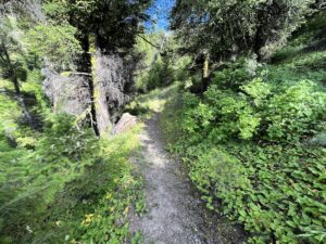
- Any development would strive to retain the existing character of the Twelvemile drainage. Trails would be semi-primitive trails that utilize and emulate existing game trails wherever possible.
- Construct trails by machine where practical and by hand wherever needed.
- Trails would be constructed to Forest Service standards, using Best Management Practices to minimize impacts to water quality, sensitive areas, fisheries, and wildlife.
- Seek funding from various grant opportunities.
- Trails would be maintained by SIMBA and other volunteer groups.
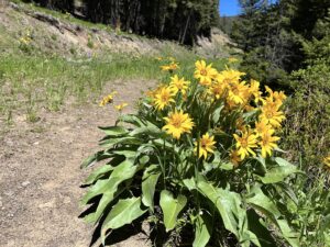
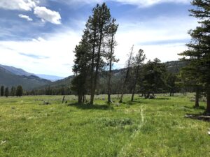
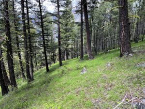
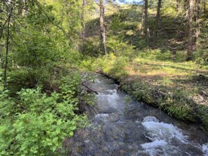
Twelvemile PHOTO Gallery
Comments? Questions?
Please let us know if you have any comments or questions about the current proposal. Or, send us a message if you’d like to get involved in the project, or if you’d like to join us out on the ground, or if you just want to be kept in the loop. Contact us HERE:

